Space
NOVELTIS significantly contributes to the development of new Earth Observation missions, whether related to the atmosphere, oceans or land surfaces.
We are a well-known partner of space agencies, industries and research institutions, and we offer top-level expertise in environment modelling and processing of geophysical observations. NOVELTIS thus helps design tomorrow’s space missions, and valorises current ones.
Our references
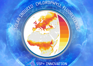
Understanding of the carbon and water cycle of terrestrial ecosystems
In the frame of the ESA-TROPOSIF project, NOVELTIS is in charge of elaborating and validating a new SIF product from [...]
Specification, prototyping and scientific validation of IASI-NG processing suite
The mission allows the monitoring greenhouse gases, clouds, aerosols, ozone and trace gases. The main objective of IASI-NG is [...]
Sentinel Next Generation (2028-2032)
NOVELTIS is involved, alongside ESA and Airbus Defence and Space, in the preparation of the future Sentinel Next Generation missions, [...]
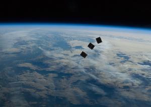
SCARBO: A constellation of small satellites for monitoring greenhouse gases
SCARBO project aims at solving a key challenge of anthropogenic greenhouse gases (GHGs) monitoring from space: improve the temporal revisit [...]
Potential of the Moon as a calibration target for IASI instruments
NOVELTIS has done a study to evaluate the interest of selecting the Moon as a source of radiometric calibration for [...]
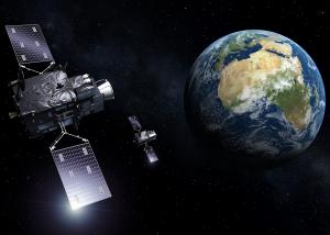
Meteosat Third Generation
NOVELTIS is involved in the preparation of the EUMETSAT's next generation of geostationary satellites, called Meteosat Third Generation (MTG). [...]
Identification of new sandy Pseudo-Invariant Calibration Sites (PICS)
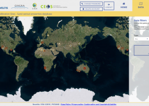
NOVELTIS has done an analysis of satellite image time series in the optical range to identify new sites that could [...]
High-resolution ocean tide modelling
High-resolution global and regional tidal models to improve the accuracy of the sea surface heights measured by satellite altimetry. [...]
Generating an a priori command to monitor hydrological targets elevation through spatial altimetry
In the frame of the OLTC project, NOVELTIS is in charge of elaborating Digital Elevation Model (DEM) for Sentinel-3A&B and [...]
Evaluation of future satellite missions for GHG surface emission retrievals
NOVELTIS has developed, in collaboration with the LSCE, a unique System Simulator of the theoretical performances of MicroCarb and MERLIN [...]
Database to simulate spectro-directional reflectance of the Earth surface
The ADAM climatological database and toolkit developed by NOVELTIS enable the calculation of realistic narrow-band reflectance values over the spectral [...]
Automatized Atmospheric Absorption Atlas
4A/OP, a fast & accurate operational forward radiative transfer model. 4A/OP is a user-friendly radiative transfer model for various [...]

