Environment
NOVELTIS offers innovative solutions to protect life and hence our planet. Mastering satellite data enables us to monitor and quantify changes on land, at sea and in the atmosphere, in order to provide hindcasts or forecasts.
We can trace back the origin of ocean pollution as well as forecast which coast might be hit. The number of subjects is limitless: for example, we can model the melting of Arctic glaciers and also map heat islands in cities…
Our references
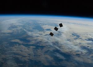
SCARBO: A constellation of small satellites for monitoring greenhouse gases
SCARBO project aims at solving a key challenge of anthropogenic greenhouse gases (GHGs) monitoring from space: improve the temporal revisit [...]
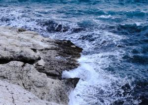
Erosion and Accretion estimation on mediteranean coasts
NOVELTIS has developed a unique model allowing the precise estimation of erosion and accretion of the beaches of the municipality [...]
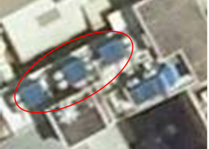
Accurate detection and location of air cooling towers
Air cooling towers are a major source of propagation of legionella bacteria that is responsible for the legionnaire’s disease or [...]
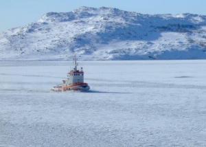
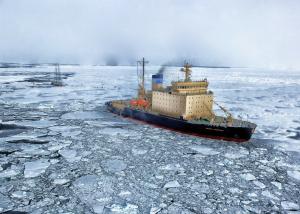
Decision-making tool to help the marine industry in the Arctic region
With Arctivities, NOVELTIS has developed an operational and innovative decision making tool to provide unique risk indicators linked to sea [...]
Operational forecasting system for ice thickness on the Baltic Sea
NOVELTIS has implemented for one of its clients Oil & Gas a unique service for the 4-week sea ice and [...]
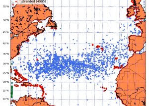
Marine litter trajectories
Monitoring and highlighting marine litter accumulation and stranding zones in the North Atlantic waters. In the aim of the [...]

