Risk prevention
NOVELTIS is capable of forecasting sea states and anticipating the main risk factors, including wind, wave heights, rogue waves, currents, ice, and extreme metocean events, thanks to its new web e-platform. In store historical data enable us to reconstitute the conditions of a shipwreck or to challenge a ship log in a speed claim for charterers or brokers.
On land, we are able to model the path of forest fires and floods. The forecasting maps grant a couple of hours advance warning, which can be used to organize rescue teams and warn inhabitants.
We also are able to measure the main characteristics of the atmosphere and forecast the evolution of air quality, for example through monitoring the NO2 concentration in the atmosphere.
Our references
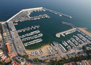
PSAMIDES : Preparation and study of several innovations answering the marinas’ needs
Supported by the Interreg MED European program, this project federates ten partners among which NOVELTIS, Eurorégion Pyrénées-Méditérannée and several mediterranean [...]
Weather Downtime service to optimize the planification of operations at sea
NOVELTIS allows the anticipation and identification of the off days due to the metocean conditions for any maritime project [...]
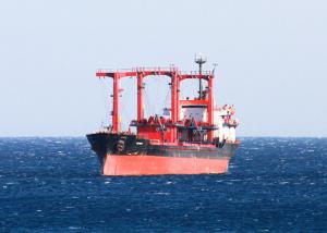
Identifying the most favorable weather window to set sails
One of the leading maritime insurance companies requested NOVELTIS to identify the most favorable time slots for a ship to [...]
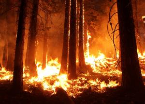
Operational Service for Tactical Fire Fighting
TechForFire is a real-time operational service for the support of tactical firefighting. Forest fires pose a frequent threat to [...]
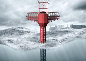
Met-ocean study for the design of the Polar Pod structure and the optimization of its route
As part of Jean-Louis Etienne's expedition to explore the Southern Ocean aboard the Polar Pod, an inhabited oceanographic platform specially [...]
Decision-making tool to help the marine industry in the Arctic region
With Arctivities, NOVELTIS has developed an operational and innovative decision making tool to provide unique risk indicators linked to sea [...]
Study of the meteorological oceanic risks on the Towing route of the Tortue platform (FPSO)
In this project, NOVELTIS’ mission was to provide risk indicators (sea states, wind, currents) along the towing route of the [...]
Forecast of extreme and rogue waves
An operational service for forecasting sea states and warning of sea dangers. SAVaS is the first service in the [...]
Operational forecasting system for ice thickness on the Baltic Sea
NOVELTIS has implemented for one of its clients Oil & Gas a unique service for the 4-week sea ice and [...]

